
Walk a Bergen Street by Address
A street-level search works best as a short chain of records. Begin with the address, then preserve both its postal form and its legal-place context before looking for a name. The property and deed sources describe parcels and transactions. They do not by themselves establish who occupies an address. Likewise, election material is date-specific, and an old directory is a historical snapshot. Keeping the sources in that order prevents an owner, party, mailing address, or map label from being turned into an unsupported current-residence claim.
- Use the USPS ZIP Code Lookup to normalize the street line, city, state, and any apartment or suite. Retain the original form too.
- Match the result to a legal Bergen municipality and then use the county property route or parcel information for the address.
- Record the owner field only as an assessment or property-record field, with its source date and any redaction noted.
- Search the Bergen land-record index for the parcel, parties, instrument, book/page, or legal description, then read an available image.
- For voter context, use the official state route or make Bergen's required written request and record the list date rather than treating it as present occupancy.
- For an earlier period, compare a dated criss-cross or city directory, historical map, and the place name used at that time.
USPS warns that a ZIP result does not confirm a person or business at an address. Its value here is accurate delivery formatting, not a household finding.
Bergen Address Record Layers
Address-keyed records in Bergen answer different questions. The county-linked property search is a current assessment route. The Clerk index identifies recorded instruments and their parties. GIS and state parcel data give geographic context, while historical directories and maps place an address in time. The table keeps the record meaning visible so that a result along a street is not treated as more than it is.
| Address Record | Custodian or Source | Useful Street Detail | Access Route |
|---|---|---|---|
| Property record | Bergen county-linked search and municipal assessor | Municipality, address, block, lot, and owner field where available | Online route, then assessor verification |
| Parcel geography | County Planning or NJGIN | Parcel shape, road and layer context | Public GIS/data information, controls unverified |
| Recorded instrument | County Clerk Registry/Land Records | Parties, parcel/legal description, document date, linked records | Online index from 1970, office for other access |
| Registered-voter list | County Clerk and election offices | Dated list or report context | Written request required |
| Directory or map | Library, archives, and historical collections | Date-stamped address, road, or landowner clue | Collection-specific access |
The parcel reference is the strongest bridge between the current property route and the deed index. A street name is useful too, but it can change spelling, cross a municipal boundary, or use a postal city that differs from the legal municipality.
The Bergen County Clerk Registry/Land Records service page shows the county office behind the recorded-document route.
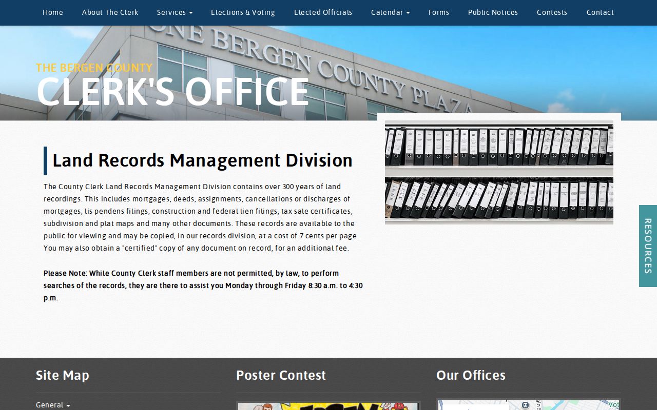
That service route helps distinguish a recorded deed or mortgage from a general street listing.
Note: Record the query date, municipality, and source type beside every address result to preserve its meaning.
Match a Bergen Address to a Parcel
The Bergen Board of Taxation links to the county property-record search. County guidance supports searches by owner, property location or address, municipality, block, and lot. Use those as a route to a parcel and a current assessment record, then ask the municipal assessor about a current card, non-digital years, or local field meanings. Do not treat an assessment owner field as proof that a person presently lives there.
The research did not capture stable live labels, coverage dates, pagination, export options, or redaction behavior for the external property screen. Those details need verification in the live system. County GIS guidance instead offers a practical parcel clue: a parcel ID combines a municipal identifier in the 02## style with block and lot, separated by underscores. That format can help reconcile a municipal search with a land-record query.
A parcel or assessment result should be logged as a structured record. The supported inventory includes municipality, situs address, block, lot, parcel ID, owner field where not redacted, and assessment-year information. Land and improvement assessments, appeal data, and property classification may appear where the system supplies them, but the exact current card labels still need live review. That distinction matters when a later search turns up a differently formatted municipal record.
The Bergen land-record search landing page is the verified starting point for the recorded-document side of that comparison.
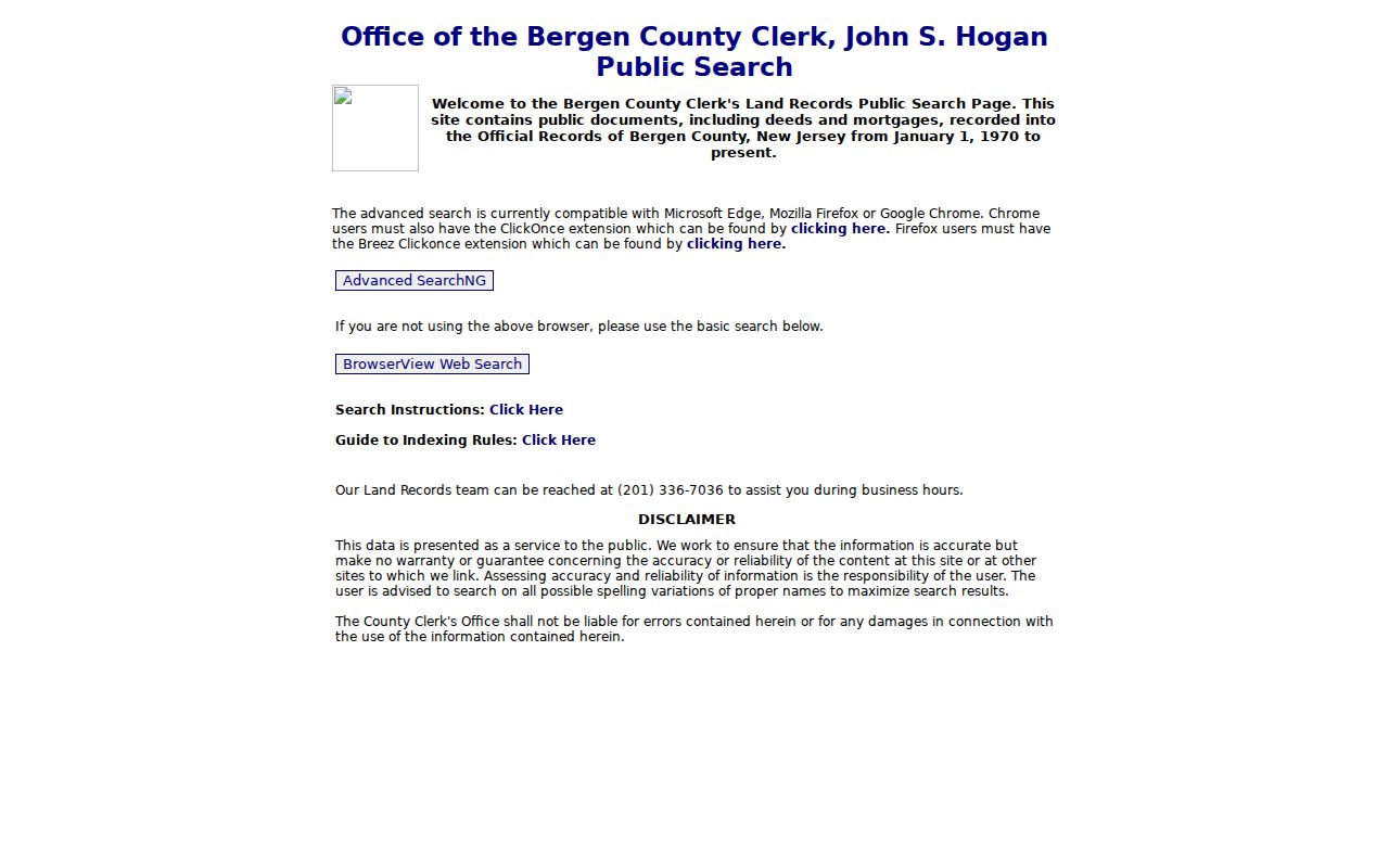
Use the property route to obtain the place identifiers first, then move to the land index with the same municipality and parcel context.
Bergen Deed Fields by Address
The Bergen land-record BrowserView is more than a name search. It supports several documented search families, and each has a different reason to use it when an address result is incomplete. The table lists only fields and controls verified in the research. Document-type choices were not fully exposed during the inspection, so that part should be checked directly before relying on a particular category.
| Verified Field or Control | Use in a Bergen Land Search |
|---|---|
| Case/Parcel | Exact text within its search tab; Town is available with that search family. |
| Town | Municipality dropdown or contextual town field. |
| Instrument number | Number or character entry, with an example instrument format supplied by the portal. |
| Book/Page | Book/page type with numeric book and page inputs. |
| Party name | Last-name first-name format without a comma; company names and spelling variants are supported. |
| Legal description | Town, lot/block, legal-description line, and map-number paths. |
| Parcel | District, map, sub-map, parcel, sub-parcel, parcel week, and parcel ID paths. |
| Document type | Code or document tree is present; the current complete option list needs live verification. |
| Date range | From/To dates and applicable 7-day, 30-day, and 90-day controls. |
| Consideration | Numeric minimum or range, without commas; documented range syntax is available in help. |
The official land-record search help explains automatic wildcard prefixing, more-name searches, two-party intersections, sortable results, linked documents, and image controls.
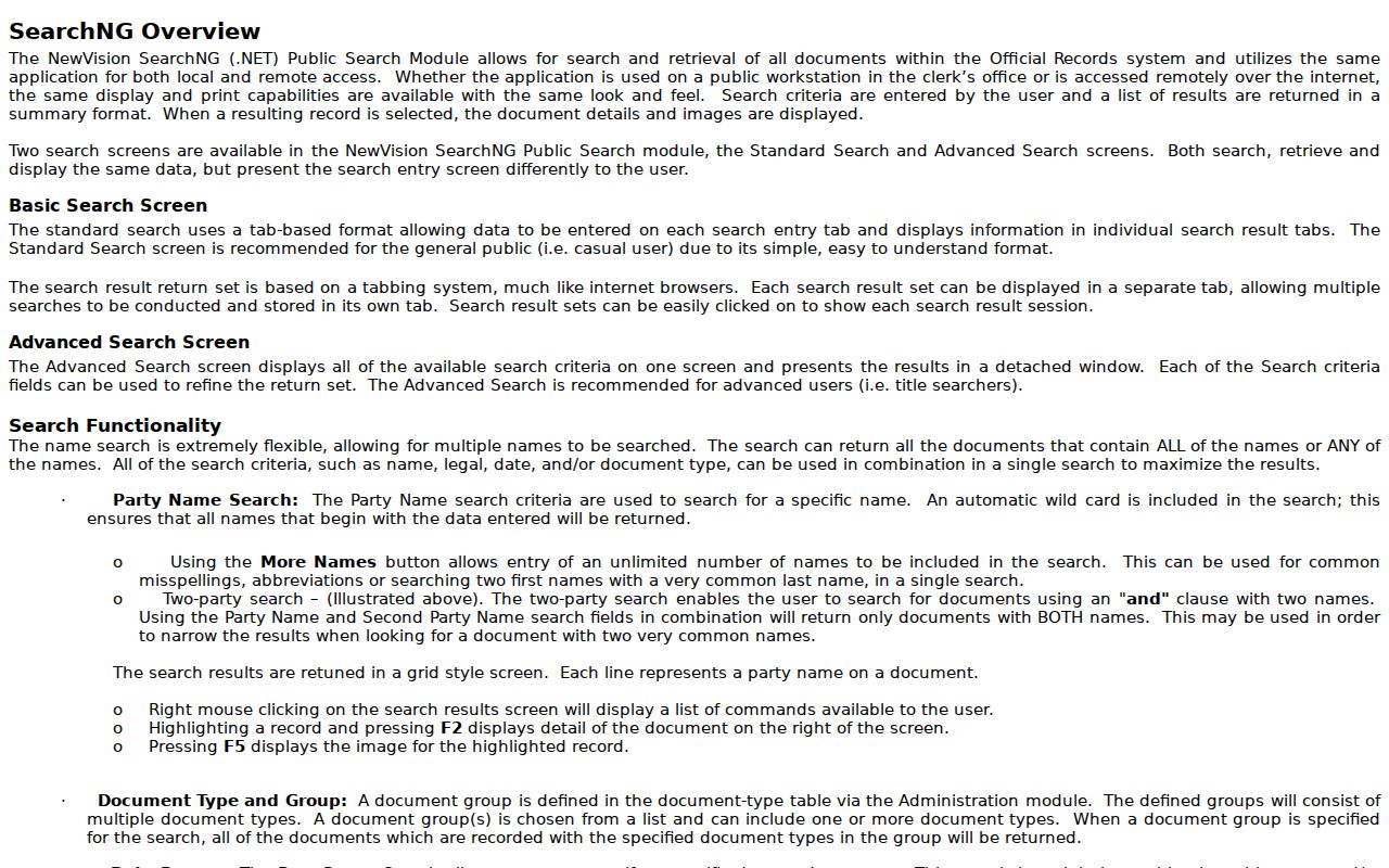
A single instrument may appear on multiple result lines because parties are indexed separately, so open the detail and compare the instrument number before counting hits.
For each useful hit, save the municipality, spelling searched, date range, party role, instrument number, and whether the source was only an index line or an image-backed document. The Clerk's recording data describes useful deed and mortgage context such as document date and type, first and second parties, block and lot, municipality, consideration, grantee mailing address, and original mortgage book/page.
Map a Bergen Address Parcel
Bergen Planning and Engineering says its Office of Data Resources & Technology manages GIS and Census data and makes GIS available to the public. The public county landing page confirms that role, but the research did not locate an exact, stable public viewer URL or verify its layers, parcel popups, street browsing, neighbor selection, print controls, or update date. Treat any visual layer as spatial context, not a legal survey or a title decision.
- Parcel
- A mapped tax or land unit, commonly tied to block, lot, or a parcel identifier.
- Situs address
- The location attached to the property record, which can differ from a mailing address.
- Plat
- A recorded map or subdivision plan that can help relate lots, roads, and legal descriptions.
- Criss-cross directory
- A historical reverse directory organized by address rather than only by name.
The county Planning and Engineering page is the verified official GIS starting point.
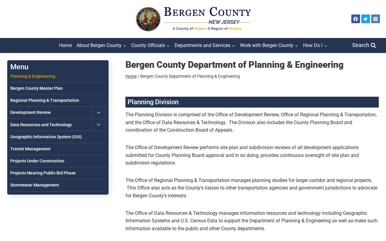
For state parcel context, retain the map's source and date, then compare the geometry with the Clerk instrument and municipal assessment record.
Note: An address on a map locates a parcel; it does not verify title, occupant, or a current mailing arrangement.
The 1970 Bergen Deed Divide
The online public-document collection begins on January 1, 1970. That cutoff is a useful Bergen street-directory quirk because a current parcel may have an older chain that cannot be completed online. For earlier deeds and mortgages, use the Clerk's in-person or historical access, the New Jersey State Archives, FamilySearch, the Bergen County Historical Society, and municipal or library materials as the record set requires. The county office provides public viewing and copying in person, while staff may assist with access but cannot perform a search for the requester.
The New Jersey parcel and GIS data page provides the state-level parcel-data context for this historical cutoff.
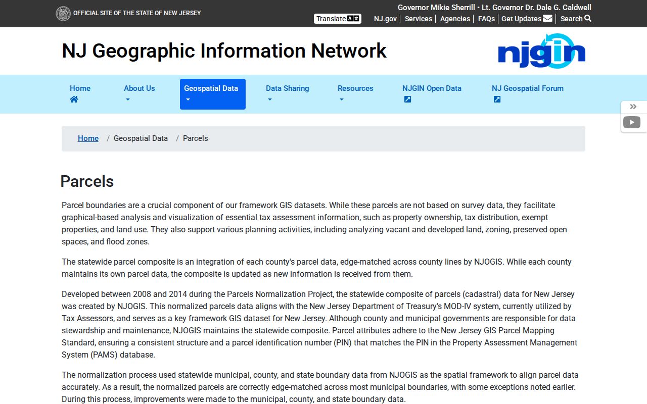
NJGIN describes parcel data aligned to the MOD-IV structure and warns that Daniel's Law can redact protected owner names from hosted parcel and tax-list services.
Bergen Street Names Need Predecessors
Municipal history can be the missing search term for an old address. Norwood formed from Harrington Township in 1905. Wallington was created in 1895 and later ceded sections to Garfield. Lyndhurst was previously Union Township. Ridgewood's incorporation was followed by several annexations. Search an older address under the current municipality and relevant predecessor names before deciding a street or parcel is absent from a historic index.
The county's 70-municipality structure also means a postal city and a legal municipality must be recorded separately. A road near a borough line can be described differently by USPS, a map, a directory, and a tax record. The municipal-history clue explains a search problem, but it does not show that a particular person or parcel moved.
Note: Preserve former place names as search variants, then label each result with the record year and municipal context.
Bergen Street Voter Context
New Jersey's registration hub links to Voter Search, but the live lookup fields could not be inspected during research, so no field list should be assumed. State guidance says matching can depend on hyphens, spaces, middle initials, and other exact spelling details. Bergen's public voter-list procedure is different: the County Clerk requires a written request. The request should specify the wanted list or report and its date or district scope.
Registered-voter lists and mail-in-ballot lists are dated election records, not a universal resident file. A historical list can provide context for a narrow, lawful research question, but it should not be used to infer a person's present address. The County Clerk publishes charges and access details on its voter reports and lists page.
Read Older Bergen Street Evidence
The 1861 Library of Congress Bergen map combines landowners, roads, buildings, householders, and Hackensack business-directory insets. It can generate an old road spelling or nearby landowner name for a later deed or directory search. The Library of Congress Sanborn record covers Hackensack, Teaneck, and Bogota for 1926 through 1950, but that item has no online image. Those materials are historical spatial clues, not present-day address proof.
Hackensack directory runs at Johnson Public Library give useful checkpoints, while the Bergen County Historical Society and archives add maps, telephone books, and other dated sources. When the question becomes how an address appeared in older printed listings, the Bergen city directory route focuses on those collections rather than repeating the modern parcel chain.
Bergen Address Record Limits
No address record proves a complete roster of people at an address. A deed can identify parties to a transaction. A property record can display an owner field. GIS can draw the parcel, and a directory can capture a past listing. Those are different claims. USPS also says its result does not confirm that a person or company is at the delivery address. Record the source date, its role, and the exact address form instead of merging the clues into a current-residence assertion.
Daniel's Law and the Address Confidentiality Program can restrict or substitute address information for eligible people. A missing name, redacted field, sealed record, or protected address is a boundary to respect, not a gap to work around.